
Mont Saint Michel stands in the Couesnon estuary on the border of Normandy and Brittany, in the department of Manche. The postal address is Le Mont-Saint-Michel, 50170, France. Coordinates: 48.636°N, 1.511°W. It is not in Brittany administratively, even though Breton marketing and some older maps still claim it. The Couesnon river was canalised so the mount sits on the Norman side.
Paris is about 360 km by road (roughly 3.5–4.5 hours depending on the A13/A84 and traffic). Rennes is the nearest major city with a TGV station (about 1 hour 15 minutes by car, or a direct Keolis bus). Saint-Malo is closer still. London travellers usually come via Portsmouth–Caen/Cherbourg ferries or Eurostar plus a French train.
| Commune | Le Mont-Saint-Michel, Manche, Normandy |
|---|---|
| UNESCO name | Mont-Saint-Michel and its Bay (1979) |
| Nearest rail | Pontorson–Mont-Saint-Michel |
| Nearest TGV | Rennes or Dol-de-Bretagne |
| From Paris by road | About 360 km |
| Island status | Tidal islet linked by a light bridge; village is a French commune |
Mont Saint Michel, France — what the map actually shows
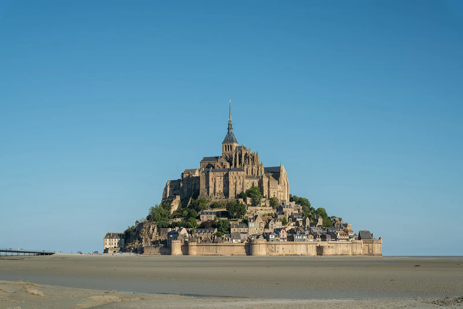
The rock sits in a bay with one of Europe’s largest tidal ranges. At high spring tide the water wraps the mount; at low tide you see sand, grit and channels. Tombelaine, a smaller granite island, sits to the north. The mainland visitor hub (car parks, tourist information, shuttle) is on the reclaimed fringe, not on the medieval streets.
People search “Mont Saint Michel Normandy”, “Manche”, and “Brittany” for the same pin. Use Normandy + Manche if you are briefing a driver or a taxi app. Brittany Ferries still markets the site because Saint-Malo and Caen ports feed it.
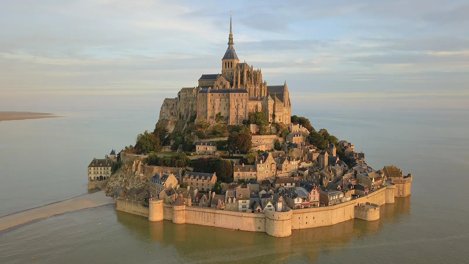
UNESCO, TripAdvisor, and why the listing matters
The World Heritage file is landscape-scale: abbey, village, and bay. That is why a “visit” can mean three different days — architecture, tides, or a guided crossing. User-review sites are useful for restaurant noise and hotel damp; they are poor for tide safety and ticket rules. For those, use CMN and the Établissement public.
Getting here from the usual hubs
- Paris: coach tour, hire car, or train+bus. See day trip from Paris.
- Rennes: Keolis Armor bus from the bus station, timed with TGVs.
- Saint-Malo: seasonal/direct bus from Esplanade Saint-Vincent — check the day’s timetable.
- Caen / Bayeux: useful if you are on a D-Day circuit; a minivan tour from Bayeux exists as a packaged option.
- Pontorson: local buses and taxis cover the last kilometres.
Full matrices including Flixbus, ferry ports and driving: how to get to Mont Saint Michel.
What “on the island” means
You will not wade unless you have booked a bay guide. The modern bridge is designed to let water pass. The old causeway that silted the bay was replaced in the 2010s restoration programme. You can walk the bridge in 30–50 minutes from the car parks; the Passeur shuttle is free and frequent in season.
Nearby places worth combining
Avranches (Scriptorial, manuscripts associated with the abbey), Granville, Cancale for oysters, and the D-Day beaches if you accept a long driving day. Giverny is not “near”; it is a separate Paris-direction stop. Alligator Bay is a reptile park on the mainland approach — a family add-on, not a heritage substitute. Details: what’s nearby.
FAQ
In Manche, Normandy, on the Couesnon estuary, postcode 50170. Not inside Brittany’s administrative border.
A tidal island linked by a bridge. High spring tides still surround the rock.
About 360 km. Plan 3.5–4.5 hours by car, longer by train+bus, or a 12–14 hour organised day trip.
Paris CDG or Orly, then train or tour. Rennes Bretagne is closer but with fewer long-haul flights.
No. They share a dedication to the archangel and a tidal setting. Different countries, different tickets.
Once you know the pin, book the monument: abbey tickets.