
The bay of Mont Saint Michel has one of the largest tidal ranges in Europe — up to about 15 metres between high and low water on the biggest springs, unfolding in roughly six hours. That number is the reason the mount looks like a ship one afternoon and a hill in a sand desert the next. It is also why people still get stuck on the grève.
Maree mont saint michel is a high-volume search because locals and visitors both need the day’s coefficients. This page explains what those numbers mean for a tourist. It is not a tide table. Official forecasts belong on SHOM / local harbour tools and on the visitor-centre notices.
How to read a coefficient without pretending you are a mariner
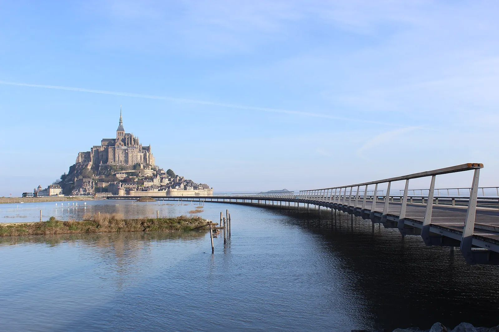
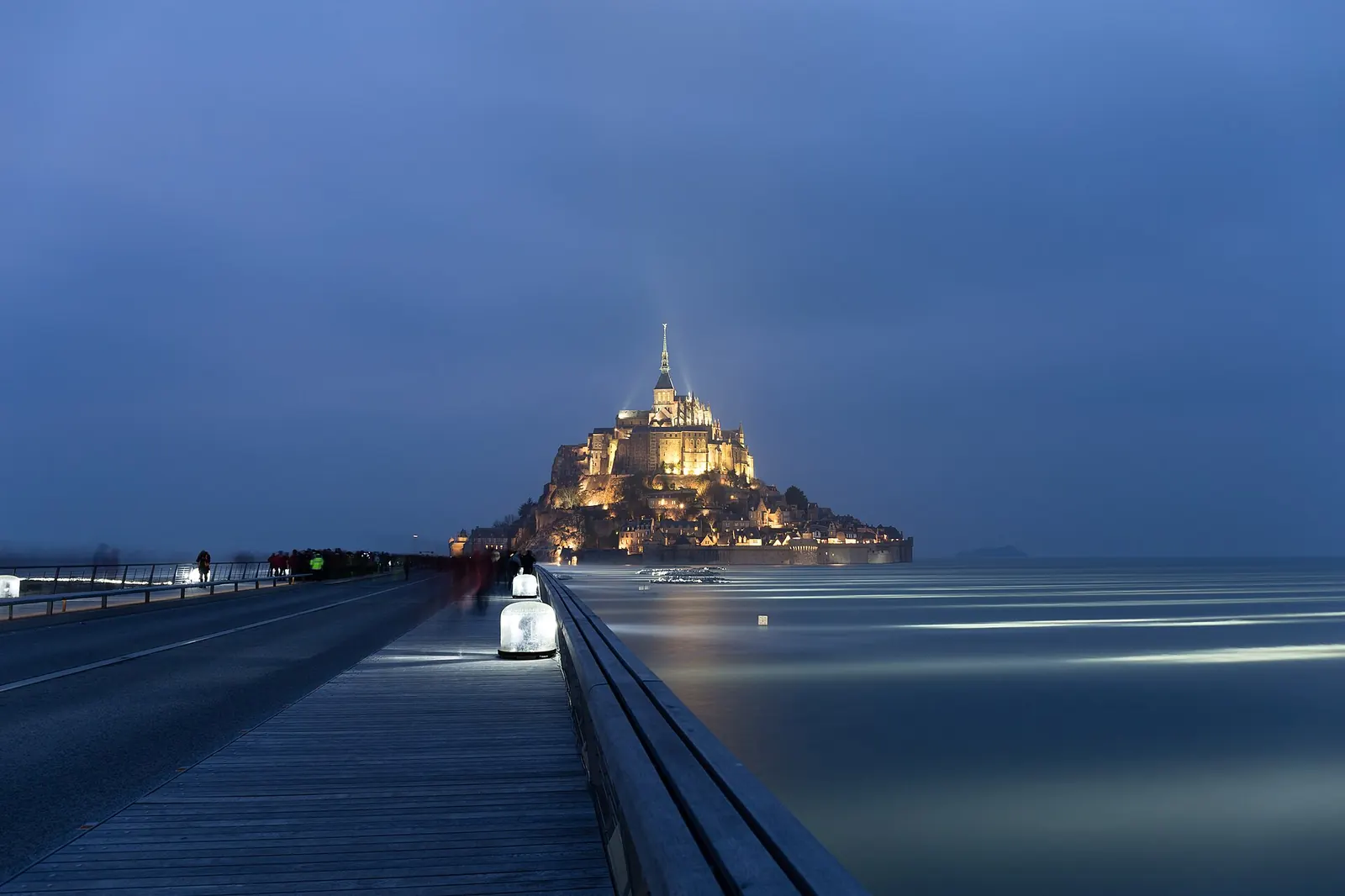
French tide tables print a coefficient (roughly 20 to 120). Higher means a bigger swing and a more theatrical surround. A modest coefficient still moves an enormous volume of water here; it just will not wrap the mount like a moat. For the postcard isolation shot, you want a high coefficient and to be standing on the bridge, not inside a shop.
Times are local. They are not interchangeable with Saint-Malo harbour apps, Cancale oyster calendars, or a screenshot someone posted on Reddit in 2022. The visitor centre and the Établissement public put the day’s headline on boards for a reason. If staff restrict the walkway at the peak, that is not optional folklore.
Spring tides, equinoxes, and crowds
Equinoctial springs (around March and September) are the celebrity events. Photographers book rooms. Coaches still arrive at the same late-morning hour, which means you can have a spectacular bay and a crushed Grande Rue at once. If the tide is the point of the trip, sleep nearby and treat the abbey as a morning or late slot, not a midday squeeze.
Winter springs are colder, dirtier, and emptier of tour groups. The wind on the west terrace will punish a phone. Hold it. Some outdoor abbey sections close in weather — that is CMN policy, not a surprise add-on.
What the restoration of the bay changed
The old causeway acted like a dam and helped the mount silt into a hill. The 2010s hydraulic works and the light bridge were built so water can move around the rock again. You benefit every time the sea actually surrounds the village. You also walk a modern engineered deck, not a medieval ford. That is why “walking to Mont Saint Michel” now means either the bridge or a guided crossing of the sands, not a casual paddle from the car park.
| Range | Among Europe’s largest; springs approach 15 m |
|---|---|
| UNESCO | The bay is part of the 1979 listing |
| Walk the sands alone? | No. Quicksand and channels. Licensed guides only |
| Best photos | High spring tide from the bridge; low-tide textures from the ramparts |
| Shuttle impact | Very high water can change how you approach; follow staff |
Ticket comparison (yes, tides still meet tickets)
Viewpoint only
Free
Causeway and ramparts. Enough for most photographers.
Abbey + timed tide
€13–€16
Cloister and west terrace while the bay fills.
Guided bay crossing
Guide fee (local)
Pilgrimage-style walk. Never DIY.
Book the abbey for a tide date
Timing is everything
Spring tides cluster around new and full moons, with the most dramatic around the equinoxes. High water at the mount does not match high water at Saint-Malo to the minute — do not reuse a Brittany surfing app blindly. For a “surrounded by the sea” photograph, be on the bridge 45 minutes before predicted high water and stay through the slack.
Low tide is when the mount looks stranded and the sand patterns appear. It is also when unguided walkers make mistakes. If you did not book a crossing, enjoy low tide from stone.
Insider vantage points that exist
The free ramparts looking north, the abbey’s west terrace (ticketed), and the bridge pull-ins are the three that work. Drone use is restricted; assume you need authorisation and do not launch from the village street. Tombelaine is a bird reserve, not a picnic island.
How to save
Tides are free. You do not need a VIP tide ticket. You may want an abbey slot that coincides with high water so the cloister view is water, not car parks. Overnighting nearby is the cheap way to catch both high and low on the same trip.
Getting there on a big tide day
Follow the Établissement public instructions. Staff can alter shuttle patterns. Do not park on unsigned verges. Details: access, crossing with a guide, best days.
FAQ
Look up the coefficient for your date on an official tide service. This guide will not invent a calendar.
Not without a qualified bay guide. People are still rescued.
Rarely for ordinary tides. Extreme weather is a different issue. Ask the operator.
Yes, off the marked approaches. Channels, fog, and quicksand.
High spring tide from the bridge; dawn at low tide from the south-east.